Cook Strait
- 22.5 km
- Distance
- North Island ↔ South Island
The crossing
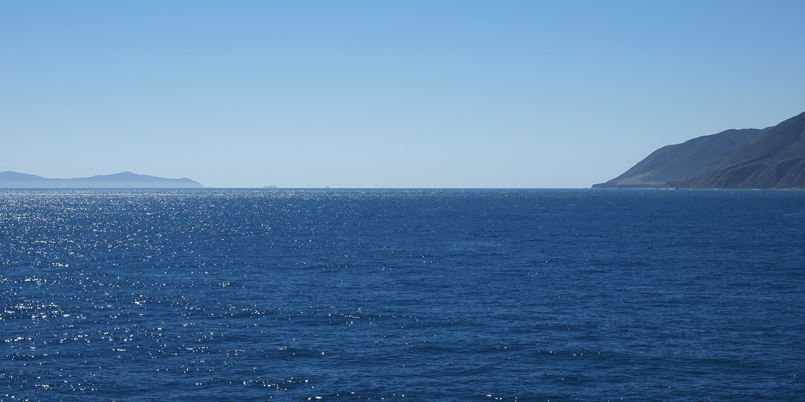
The Cook Strait, Te Moana-o-Raukawa in Māori, separates the North Island from the South Island of New Zealand and connects the Tasman Sea to the Pacific. Between Cape Terawhiti, west of Wellington, and Perano Head, on Arapaoa Island—the two headlands from which one departs and arrives—it measures 22.5 km (14.0 mi) in a straight line, as measured by us along the coastline; the 1966 New Zealand encyclopedia cited 14 miles between the same two headlands, which were then called Terawhiti and Wellington Head. Those who organize the crossings speak of approximately 26 km (16.2 mi) swum.
Tides that don't keep to the schedule
The tides at the two ends of the strait are almost exactly in opposition: when there is high tide on one side, there is low tide on the other. In the center, the tidal range is almost zero, but the currents are strong, and one current can last for eight or ten hours while the opposing one remains weak; in bad weather, the same direction can hold for three cycles. As early as 1931, a sailor wrote to the Wellington newspaper that the strait's tides do not respect the schedule. For this reason, crossings depart when the tides dictate, at any hour. Philip Rush, who organizes them, describes it as one of the most difficult stretches of water to swim in the world, and among the windiest in New Zealand.
The water, the season
The water ranges from 14 to 19 °C (57.2 to 66.2 °F). The season begins in January: before then, says Rush, usually no one starts. In the register, the crossings are almost all between January and April, with March and February in the lead, and none between June and October. Every year, ten or twelve attempts are made; one must book up to two years in advance and must keep at least two weeks free to wait for the right weather. Sharks appear in one out of every fifteen or twenty crossings, and the organizer writes that no one has ever been attacked; jellyfish are mostly harmless, but "bluebottles" can sting.
In both directions
The strait is swum in both directions, and here it is considered a single crossing: in the rankings, the direction and double crossings can be selected using filters. In the historical crossings of the register, the direction is noted, and the majority go from the North Island to the South Island; for the most recent ones, the register does not record it.
The rules, the ratification
There is no federation for the strait. The crossings are organized and registered by Cook Strait Swim, that is, Philip Rush, who coordinates boats, skippers, and assistants: a 40-foot motorboat with a skipper and navigator, and a dinghy alongside the swimmer from start to finish. At the end, the swimmer receives a chart of the route and a certificate. Wetsuits are not permitted: one swims with a swimsuit, cap, goggles, and grease, and eats every half hour. The organizer's register, of which archival copies up to 2021 remain today, is the source for the rankings on this page.
Water temperature
Sea surface temperature measured by satellite at mid-route, daily values 2023–2025: the dot is the monthly mean, the bar spans the lowest to the highest. Highlighted: the months with most crossings.
Show the data as a table
| Month | Mean | Lowest | Highest |
|---|---|---|---|
| January | 16.9 °C (62 °F) | 15.1 °C (59 °F) | 19.4 °C (67 °F) |
| February | 17.8 °C (64 °F) | 16.3 °C (61 °F) | 20.1 °C (68 °F) |
| March | 16.8 °C (62 °F) | 15 °C (59 °F) | 19.8 °C (68 °F) |
| April | 16.4 °C (62 °F) | 14.9 °C (59 °F) | 18.1 °C (65 °F) |
| May | 15.5 °C (60 °F) | 13.6 °C (56 °F) | 17.4 °C (63 °F) |
| June | 14.8 °C (59 °F) | 13.2 °C (56 °F) | 16.2 °C (61 °F) |
| July | 13.5 °C (56 °F) | 12.1 °C (54 °F) | 14.8 °C (59 °F) |
| August | 12.8 °C (55 °F) | 11.4 °C (53 °F) | 14.2 °C (58 °F) |
| September | 13.3 °C (56 °F) | 12.8 °C (55 °F) | 13.7 °C (57 °F) |
| October | 13.6 °C (56 °F) | 12.7 °C (55 °F) | 14.3 °C (58 °F) |
| November | 14.7 °C (58 °F) | 13.7 °C (57 °F) | 16.3 °C (61 °F) |
| December | 15.8 °C (60 °F) | 14 °C (57 °F) | 17 °C (63 °F) |