Tsugaru Strait
- 19.4 km
- Distance
- Honshu ↔ Hokkaido
The crossing
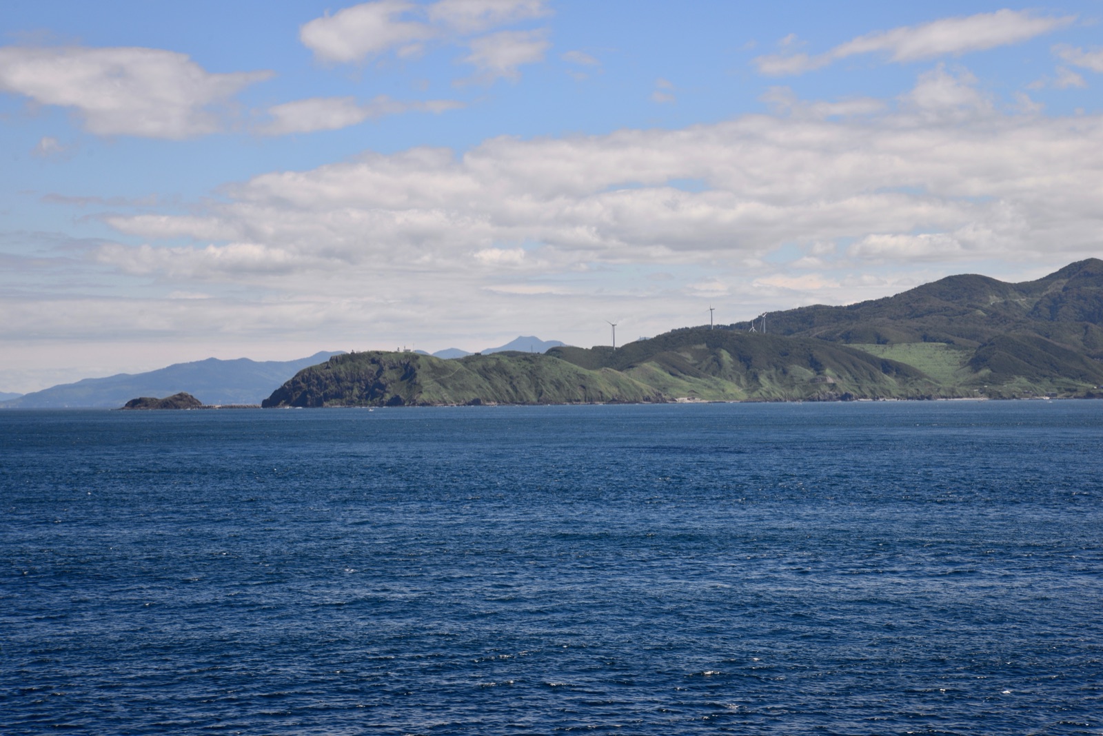
The Tsugaru Strait separates Honshu, the main island of Japan, from Hokkaido. On the west side, between Cape Tappi and Cape Shirakami, it measures 19.4 km (12.1 mi), as measured by us along the coastline; Japanese sources state 19.4–19.5 km (12.1–12.1 mi). However, today's crossing does not pass through there: the organizations that arrange it start from Gongenzaki, the cliff at the tip of the Kodomari cape, and arrive on the coast of Hokkaido near Fukushima or Cape Shirakami, approximately 30 km (18.6 mi) in a straight line^3. With the current, swimmers cover between 36 and 57 km (22.4 and 35.4 mi), depending on the crossing^5.
The Tsugaru Current
In the strait, warm water from the Sea of Japan flows toward the Pacific: this is the Tsugaru Current, which the Japan Coast Guard reports as being between 1 and 3 knots, stronger in summer than in winter, and which changes significantly with the time of day because the tides of the two seas are different. In 2025, an observer measured it at over 6 knots. Feudal-era maps already depicted three currents—the Tappi, the middle, and the Shirakami—with the inscription «these three currents go east, very fast». There are times when one makes no progress at all, and on average, a crossing lasts more than ten hours.
The season, the rules
Swimming takes place between June and September, starting at dawn and arriving before sunset. The new strait federation prohibits wetsuits and any physical contact; it requires having swum at least four hours in water at 16 °C (60.8 °F) or less in the eighteen months prior. The finish is valid only when the entire body is out of the water on a point of the actual coast, not on a sandbar, and breakwaters must be avoided as much as possible. Ocean Navi's historical register also includes crossings with wetsuits, marked as such: in the rankings, the equipment filter separates them. Sharks are rarely seen; jellyfish are present, but so far no one has been stung by a dangerous one.
From Honshu to Hokkaido
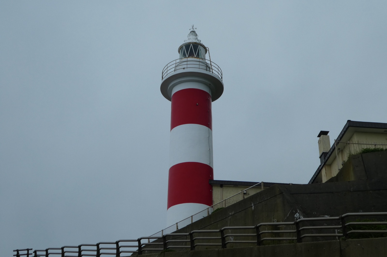
Today, the swim is from Honshu to Hokkaido, starting from Gongenzaki. The first crossing in 1967 went in the opposite direction, as did two relay teams in 2012 and 2013, from Hokkaido to Cape Tappi, according to the Ocean Navi register^14.
Who records it
No single body ratifies crossings of the strait. Since 2008, Ocean Navi, led by Masayuki Moriya, has organized and assisted them with two boats and an observer on board: its register, up to 2022, is the source for the rankings on this page, where they are marked as unratified. Since 2025, there has also been the Tsugaru Strait Swimming Federation, based in Nakadomari, which was created because more than one hundred swimmers were on a waiting list and few organizations were available to assist them.
Water temperature
Sea surface temperature measured by satellite at mid-route, daily values 2023–2025: the dot is the monthly mean, the bar spans the lowest to the highest. Highlighted: the months with most crossings.
Show the data as a table
| Month | Mean | Lowest | Highest |
|---|---|---|---|
| January | 12 °C (54 °F) | 9.9 °C (50 °F) | 14.9 °C (59 °F) |
| February | 9.8 °C (50 °F) | 8.9 °C (48 °F) | 10.8 °C (51 °F) |
| March | 9.5 °C (49 °F) | 8.1 °C (47 °F) | 11.3 °C (52 °F) |
| April | 10.2 °C (50 °F) | 8.6 °C (47 °F) | 12.5 °C (55 °F) |
| May | 13.2 °C (56 °F) | 10.9 °C (52 °F) | 16 °C (61 °F) |
| June | 18.4 °C (65 °F) | 14.3 °C (58 °F) | 22.4 °C (72 °F) |
| July | 23.9 °C (75 °F) | 20.8 °C (69 °F) | 28 °C (82 °F) |
| August | 27.4 °C (81 °F) | 24.9 °C (77 °F) | 30 °C (86 °F) |
| September | 26.4 °C (80 °F) | 24 °C (75 °F) | 29.1 °C (84 °F) |
| October | 22 °C (72 °F) | 18.4 °C (65 °F) | 25 °C (77 °F) |
| November | 17.6 °C (64 °F) | 15.6 °C (60 °F) | 20.5 °C (69 °F) |
| December | 14.2 °C (58 °F) | 12.1 °C (54 °F) | 16.1 °C (61 °F) |