Molokai Channel
- 41.1 km
- Distance
- Molokai ↔ Oahu
The crossing
The Molokai Channel, or Kaiwi Channel, separates Molokai from Oahu, in Hawaii. Between the eastern tip of Oahu and Lāʻau Point, at the southwestern end of Molokai, it measures 41.1 km (25.5 mi) between the start and finish coastlines, as measured by us along the coastline. The Kaiwi Channel Association cites 27 miles at the narrowest point and approximately 28.5 on the standard route; other Hawaiian sources state 26 miles. It is one of the deepest channels in the archipelago.
Where to start, where to finish
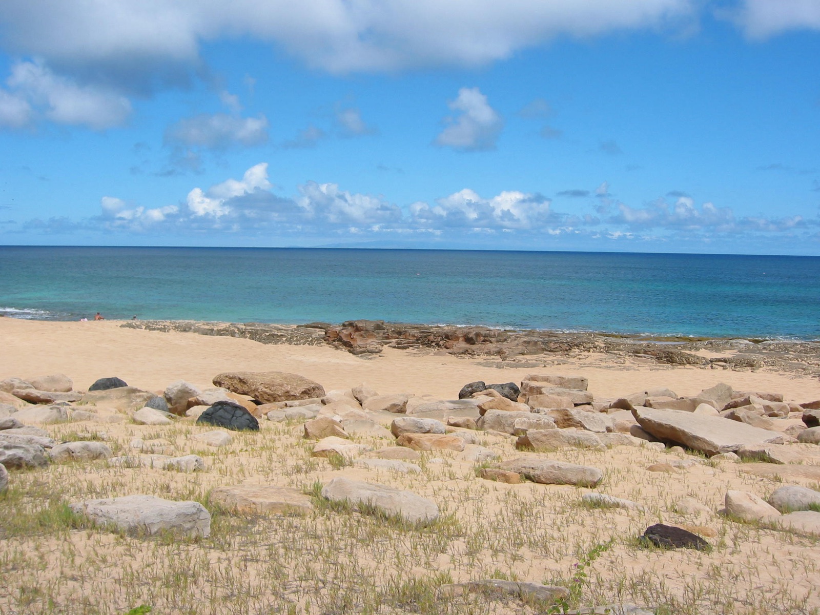
The classic route goes from Molokai to Oahu. Almost everyone starts from the west coast of Molokai: Kepuhi Beach, for the sandy beach and logistics, or Papohaku Beach; the first swimmers started from Lāʻau Point. You arrive on the southeast coast of Oahu: Sandy Beach is the best finish, Makapuʻu is where the current often leads, and Hanauma Bay and Portlock are the most difficult to exit. Few have swum it in the opposite direction, and since 2025 the Hawaiian association has provided a specific swim cap for those who do so. The organizations do not separate the two directions: here it is a single crossing, and the direction can be chosen using a filter in the rankings.
Wind, currents, night
The channel is known for its unpredictable wind, strong current, and waves. Often the sea is too rough for the boat to stay close to the swimmer, which is why the Kaiwi Channel Association requires kayaks. You swim at night: in past years, swimmers started shortly after midnight, while today it is more often around six in the evening, and according to a 2024 scientific study, it is highly unlikely to finish the crossing only in daylight. The water temperature is between 24 and 27 °C (75.2 and 80.6 °F) all year round.
The cookiecutter shark
The specific risk of this channel is the cookiecutter shark, a small deep-sea shark that tears out a round plug of flesh. In 2019, over five months, three swimmers were bitten in the channel at night, over depths of more than 600 meters (1,968.5 ft). A 2024 study found that bites occur primarily when the moon has set: since then, departure times are also chosen based on the moon. The channel is also home to tiger sharks, Portuguese man o' wars, and box jellyfish.
The rules
From land to land, with no water behind you at the start nor in front at the finish. A textile swimsuit that does not extend past the knees and shoulders, a swim cap, goggles; no wetsuit. No contact with the boat, kayaks, or anything attached to them. An observer on board signs the report upon which ratification is decided. The Kaiwi Channel Association permits electronic shark deterrents.
Who ratifies it
Two organizations ratify the channel and both declare themselves the reference point for the Ocean's Seven^12. The Kaiwi Channel Association, founded in 2013, assists with crossings and certifies them. Since 2024, it has been owned by a group of ten Hawaiian swimmers, and its register is the source for the rankings on this page. The Hawaiian Channel Swimming Association, founded in 1984 for channels between all the islands, does not organize or observe the crossings, but ratifies them based on the observer's data. The two registers are almost identical.
Water temperature
Sea surface temperature measured by satellite at mid-route, daily values 2023–2025: the dot is the monthly mean, the bar spans the lowest to the highest. Highlighted: the months with most crossings.
Show the data as a table
| Month | Mean | Lowest | Highest |
|---|---|---|---|
| January | 25 °C (77 °F) | 24.4 °C (76 °F) | 25.7 °C (78 °F) |
| February | 24.8 °C (77 °F) | 24 °C (75 °F) | 25.7 °C (78 °F) |
| March | 24.7 °C (76 °F) | 23.7 °C (75 °F) | 25.8 °C (78 °F) |
| April | 25.1 °C (77 °F) | 24.1 °C (75 °F) | 26.3 °C (79 °F) |
| May | 25.4 °C (78 °F) | 24.5 °C (76 °F) | 26.2 °C (79 °F) |
| June | 26.1 °C (79 °F) | 25.1 °C (77 °F) | 26.9 °C (80 °F) |
| July | 26.3 °C (79 °F) | 25.4 °C (78 °F) | 26.9 °C (80 °F) |
| August | 26.7 °C (80 °F) | 25.4 °C (78 °F) | 27.2 °C (81 °F) |
| September | 27.1 °C (81 °F) | 26.1 °C (79 °F) | 27.9 °C (82 °F) |
| October | 27 °C (81 °F) | 26.1 °C (79 °F) | 27.8 °C (82 °F) |
| November | 26.1 °C (79 °F) | 25.1 °C (77 °F) | 27.8 °C (82 °F) |
| December | 25.6 °C (78 °F) | 25 °C (77 °F) | 26.3 °C (79 °F) |